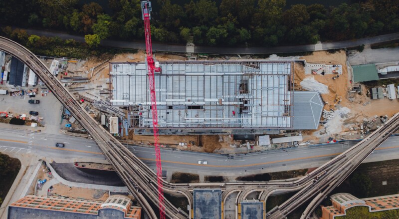
Professional surveyors around the world have been quick to identify the benefits associated with drone use in their industry.
With the adoption of a tailored surveying multi-rotor, job times can be reduced drastically with simple and accurate recording of data. This applies to any industry needing a mapping function.
For earthworks, quarries, roading companies, and engineering firms, the use of aerial robotics technology offer a unique opportunity to source accurate data and information on a more regular basis and quicker than with traditional methods.
Volume calculations, digital terrain models, orthomosaics and more can easily be obtained and in a safe manner, reducing risk to personnel.
Comprehensive set-up, training and instruction are provided with each drone.
Used for
- General mapping
- Digital terrain models
- Contour models
- True orthomosaics
- Aerial topographic survey
- Land development projects
- Aerial photographs
With a range of payloads, it’s important to get a solution best suited for the job.